

By Prof. Giorgi Pkhakadze, MD, MPH, PhD · 15/09/2026
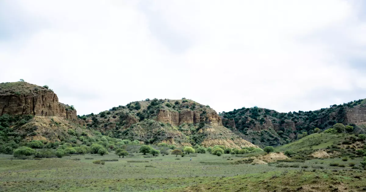
Somewhere past Sagarejo, on the road south-east from Tbilisi, the land changes. The vineyards stop, the villages thin out, and the hills on either side begin to show colour: a red band, then a white one, then a rusty orange, then a grey-green, repeating up the slope like the layers of a cake sliced open. In spring, with the grass short and green between them, the effect is startling. In summer, with the grass gone gold, it is stranger still. Georgians call them the rainbow hills; geologists call them the Gareji badlands; both are right.
The sea
Fifteen million years ago the plain south-east of Tbilisi was the floor of a shallow sea — the Sarmatian, an arm of the great inland ocean that stretched from Vienna to the Aral. Rivers from the young Caucasus poured sediment into it: red and brown mud rich in iron from the volcanic mountains, pale limey ooze from the shells of sea creatures, grey-green clay, sand. Each layer settled on the last as the sea rose, fell and shifted. When the sea finally drained, the layers were a mile thick. Then the land was lifted and tilted by the mountains still rising to the north, and the rivers and rain of a few million years cut through the tilted layers and exposed them on the slopes, band after band.
The colour is chemistry: iron oxidised red, iron reduced green, lime white, manganese purple-black. The absence of vegetation on the steeper slopes — the clay sheds water and grows almost nothing — keeps the colours bare. Rain deepens them; the hour after a spring shower is the time to be there.
The steppe
The rainbow hills sit within the Iori plateau, a semi-desert of grass, wormwood and juniper that is unlike anything else in Georgia — the country’s little piece of Central Asia. It is home to gazelles reintroduced in the last decade, to tortoises, to eagles, vultures and, in the cliffs, to the last colonies of the imperial eagle in the Caucasus. Shepherds bring flocks down from Tusheti to winter here. The Vashlovani national park, further south-east, protects the finest of it, with mud volcanoes, pistachio woods and a border with Azerbaijan.
The road
The colours are best seen from the road itself in the last twenty kilometres before David Gareji, where it runs along the crest of the badlands with the layered hills on both sides. Stop at the viewpoints; walk a hundred metres off the road onto a ridge; the silence and the scale come up around you. The monastery, when it appears, is set into a striped cliff of the same rock — the monks chose their colours well.
See it with GTour
The rainbow hills are the approach to the David Gareji day trip; we stop where the colours are best, and spring departures are timed for the green.
ქართულად: ცისარტყელას ბორცვები — რატომ არის გარეჯის მიწა ზოლიანი
